Deer, oh dear!
Deer continue to be a key threat to vegetation, habitat, agriculture and safety across the region but momentum is building to tackle this pest in a coordinated way.
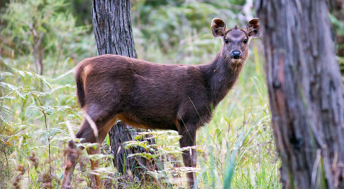
Deer are a big threat to native vegetation
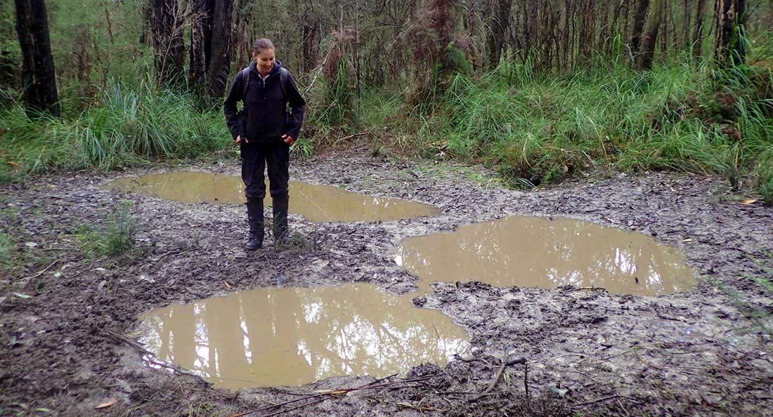
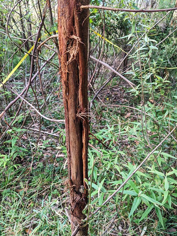
Deer are an increasing threat to native vegetation and water quality across the Healthy Waterways Strategy region and across large parts of eastern Australia. Deer graze on trees and shrubs, trample and snap vegetation, ring-bark trees by antler rubbing, and create large wallows in wet areas that impact niche vegetation and frog breeding habitat. They also have negative impacts on agriculture, including fouling of pasture, crops and water supply, increasing the spread of weed and soil borne diseases and damaging infrastructure including fences and nets. Pathogens present in deer faces can contaminate reservoirs and impact the water supply.
In response to this growing threat, the Victorian Government released the Victorian Deer Control Strategy in October 2020. It sets out a long-term coordinated plan to control wild deer numbers across the State and reduce the threat they pose to the environment, farming, public safety and Aboriginal cultural heritage. The Strategy was prepared by the Department of Environment, Land, Water and Planning (DELWP) and the Department of Jobs, Precincts and Regions (DJPR) and is overseen by a Deer Advisory Committee.
This year, as part of the strategy, a peri-urban Melbourne Deer Control Plan has been formulated in a partnership between Department of Environment, Land, Water and Planning, Melbourne Water, local councils, Parks Victoria, and Traditional Owners to identify effective measures to reduce wild deer numbers and their impacts and make the roads safer. This plan will go to the Minister of Environment for approval in late 2021.
The Department of Environment, Land, Water and Planning are also working on an order in council which will give public land managers the right to cull without a permit.
Predicting deer density and impact
Understanding where deer impacts are the greatest is critical to prioritising interventions to protect our catchments and waterways.
A deer research project has built a model to predict where the impacts of deer on waterways are likely to be greatest. The model includes development of a spatial dataset that maps deer density and impact to riparian vegetation across the Port Phillip and Westernport region – and is also being expanded to the rest of Victoria. Riparian zones with high-biodiversity value and revegetation projects on the intersection between forested areas and farm land are at highest risk from deer impact.
The deer research modelling project has been running for three years and is a collaboration between the University of Melbourne’s Waterway Ecosystems Research Group (WERG), Parks Victoria, Melbourne Water and the Department of Environment, Land, Water and Planning (DELWP).
This year, a range of activities have been undertaken to further refine the model to inform efficient targeting of deer impact mitigation and control activities. These include; use of LIDAR data (a remote sensing technique) to assess associations between deer density and changes in vegetation structure, field assessments of deer density and impacts to the west of Melbourne, and using the model to guide deer control programs.
Culling deer in priority areas
Deer have flourished in the Bunyip State Park since the bushfires in 2019. In June 2020, Melbourne Water and Parks Victoria initiated the Bunyip Recovery Deer Control Program that focuses on active deer management and aims to protect the recovery of the park’s waterways and threatened flora. The program also seeks to assist landowners in their efforts to manage deer.
In addition to this program, DELWP (Central Highlands Eden) with funding from Melbourne Water and other sources, is carrying out deer control in the Tarago Reservoir and adjoining State Forest in close proximity to the Bunyip deer control program. At this stage, works will focus on contractor ground-shooting but the work may also involve small scale exclusion fencing.
The deer control project covers approximately 400,000Ha and has a working group including DELWP, Parks Victoria, Melbourne Water, Baw Baw Shire Council, Yarra Ranges Council, Regional Roads Victoria/Department of Transport, Lake Mountain Alpine Resort and Mt Baw Baw Alpine Resort.
Both the Bunyip State Park and Tarago projects are working with Melbourne University’s deer research project for pre and post cull monitoring to determine deer densities and the condition of vegetation as deer numbers decline.
Other ways to control deer
Exclusion fencing remains the most effective non-lethal method to prevent impacts by deer. While applicable to most situations, it is costly, and thus usually limited to small and medium-sized projects.
Recent research by the University of Melbourne’s Waterway Ecosystems Research Group (WERG) monitored revegetation plots where exclusion fencing was removed after being in place for 3 years. They found that despite the plantings being well established, deer impacts were significant within 6 months of fences being removed, compared with plots where fencing remained in place. Given that one function of revegetation is to improve habitat connectivity for native animals, fencing for longer periods of time is not ideal.
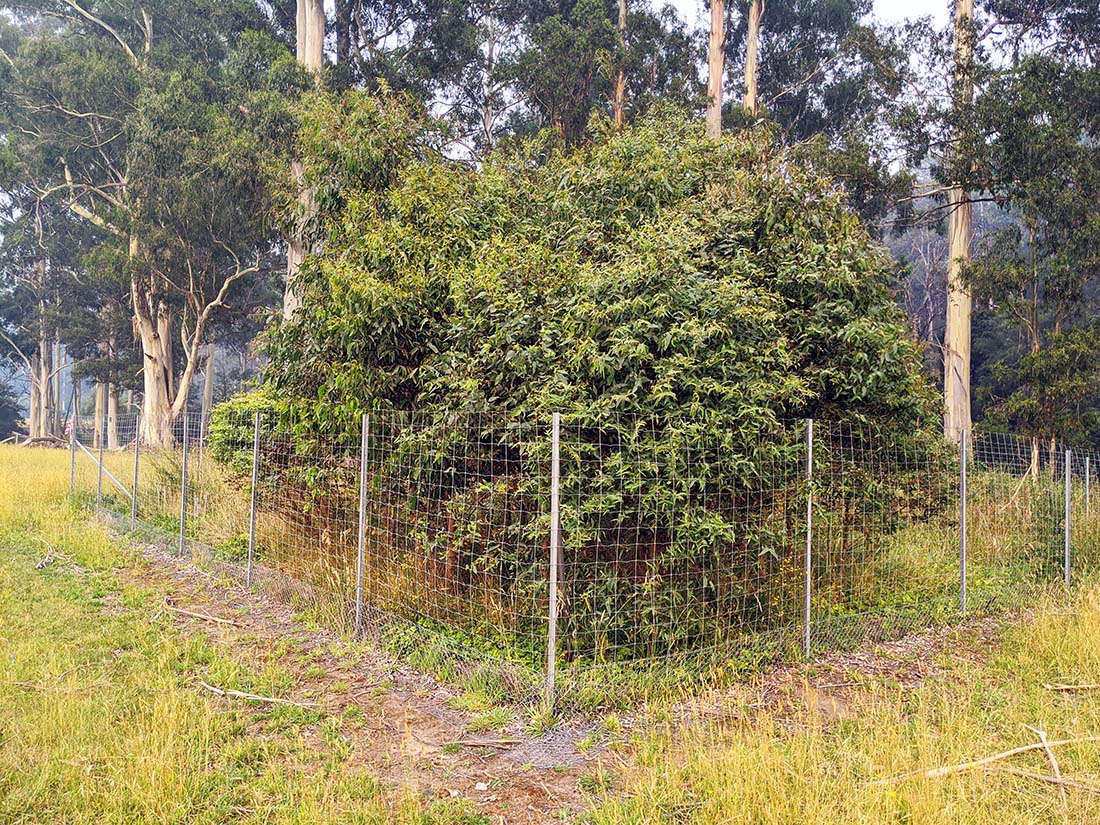
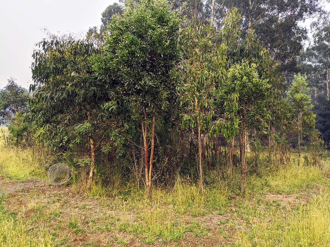
The collaboration is also undertaking research to compare lethal and non-lethal methods of deer control which included examining 49 studies that describe and evaluate non-lethal methods to deter deer from impacting vegetation and creating wallows.
The study concluded that non-lethal methods have no effect on deer population density and consequently, impacts will likely be transferred to other locations. The project found that when sufficiently resourced, lethal control using ground-shooting can effectively reduce population densities and consequently reduce impacts to vegetation.
“The review of non-lethal methods to mitigate deer impacts on vegetation is very useful for catchment management authorities across Victoria, many of whom also have significant problems with deer in riparian areas, especially deer impacting on riparian revegetation activities.”
Peter Vollebergh, DELWP
Links to the Healthy Waterways Strategy – Westernport catchment and Region wide
Works to manage the threat of pest deer will contribute to protecting and maintaining high quality vegetation and establish vegetation buffers in all 5 catchments in the region. Reducing the impacts of wallows will contribute to protection of specific habitat for threatened species such as Southern toadlet. The specific project areas mentioned in this case study are Bunyip Middle and Upper and Tarago subcatchments. Protecting high quality vegetation from key threats such as deer will support a range of flora and fauna. The collaborative efforts across agencies and organisations is an excellent example of co-delivery to support the key values outlined in the strategy.
For more information see 2020 case study Putting the spotlight on deer control.